 As you may have read, a certain US satellite is heading back to Earth rather faster than expected. Some people are worried that when the satellite crashes back to Earth, the hydrazine fuel cell within may cause chlorine-poisoning-like symptoms to anyone nearby. That two thirds of our planet is water and that the size of the effect isn’t much than a few acres doesn’t seem to matter. The US have decided to blow the satellite up in orbit before we get the chance to play satellite crashland lottery, in a move that many analysts see as retaliation for China shooting down its own satellite last year. At least we might get to see some pretty effects, if someone manages to capture the missile on video.
Tag Archives: satellite
Satellite images catch human-rights violations
Human rights groups are using commercial satellite imagery to document recent human-rights abuses in Burma. Via the MIT Technology Review:
Backing up human-rights reports that the Burmese military is razing villages of ethnic minorities and herding people into areas under tighter military control, an analysis of satellite images shows chilling scenes of bare ground where villages once stood, new settlements near military camps, and swelling refugee camps just across the border, in Thailand. The new analysis was done by the American Association for the Advancement of Science (AAAS) and human-rights groups.
A new use for satellite imagery: boosting sales!

New technologies have a tendency to develop unintended side effects, for both good or ill–just look at how automobiles changed society. Satellite imaging gave us better weather forecasts and more accurate military surveillance–and now, stronger sales leads for home contractors!
A company called Geosemble is using artificial intelligence combined with satellite imagery to direct companies toward local residents whose houses and grounds are in need of repair. The National Science Foundation in the U.S. has given them a Phase I grant to further develop the process.
Now if you’ll excuse me, I think I’ll go wrap my house in aluminum foil.
(Via Gizmag.)
(Photo from Gizmag, too.)
[tags]satellite, satellite imagery, privacy[/tags]
Google Earth to Improve Resolution
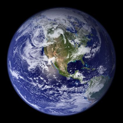
Photo Credit: NASA (via Wikimedia Commons)
DigitalGlobe, provider of imagery for Google Earth, will be launching a new satellite dubbed WorldView I next Tuesday, that will boost the accuracy of its satellite images to half-meter resolution. With that type of accuracy the satellite will now be able to pinpoint objects on the Earth at three to 7.5 meters, or 10 to 25 feet. Using known reference points on the ground, the accuracy could rise to about two meters. Additionally the satellite will be able to collect over 600,000 square kilometers of imagery each day, up from the current collection of that amount each week.
It seems that we are getting much closer to the CIC Earth application as envisioned by Neal Stephenson in Snow Crash, which was able to present real time satellite imagery.
[Via C|Net]